How the Fire Danger Class works
 Monday, September 8, 2025 at 7:57AM
 The Fire Danger Class is determined by fire weather indices calculated from weather station data, including temperature, relative humidity, wind speed, wind direction, and 24-hour rainfall. These indices assess environmental conditions, such as the moisture content and dryness of forest fuels, to provide a rating for the risk of wildfire and to predict its potential spread. A network of automated weather stations collects the data hourly to update the danger class, which is categorized in levels such as Low, Moderate, High, and Extreme.
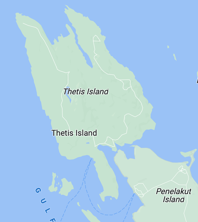
Thetis Island is currently in EXTREME according to the Coastal Fire Centre indices. It is NOT the TIVFD or the Fire Chief that sets the Fire Danger Class. We check the weather station data daily from Cedar, North Cowichan and Salt Spring Island for forecasts, as recommended by our Coastal Fire Centre, and report the danger class as determined.
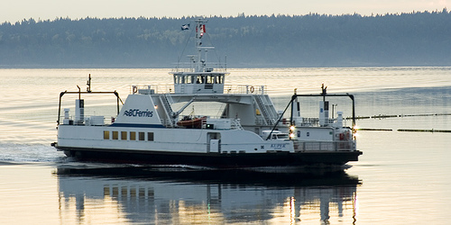
When the Fire Danger Class changes we post on eSpokes, move the needle on the image at www.thetisislandfire.ca, and change the FD information board across from the ferry lineup.
We were hoping for some significant rain this weekend for the fine fuels and coarse woody debris on the ground to soak up, but as of Sunday afternoon so far no luck. It might even be next Friday, according to the rain forecasts, that we get any significant moisture. Thank you for your patience, understanding, and support. We will keep you posted.
Fire Chief J. Caldbeck
Thetis Island Vol. Fire Dept.


