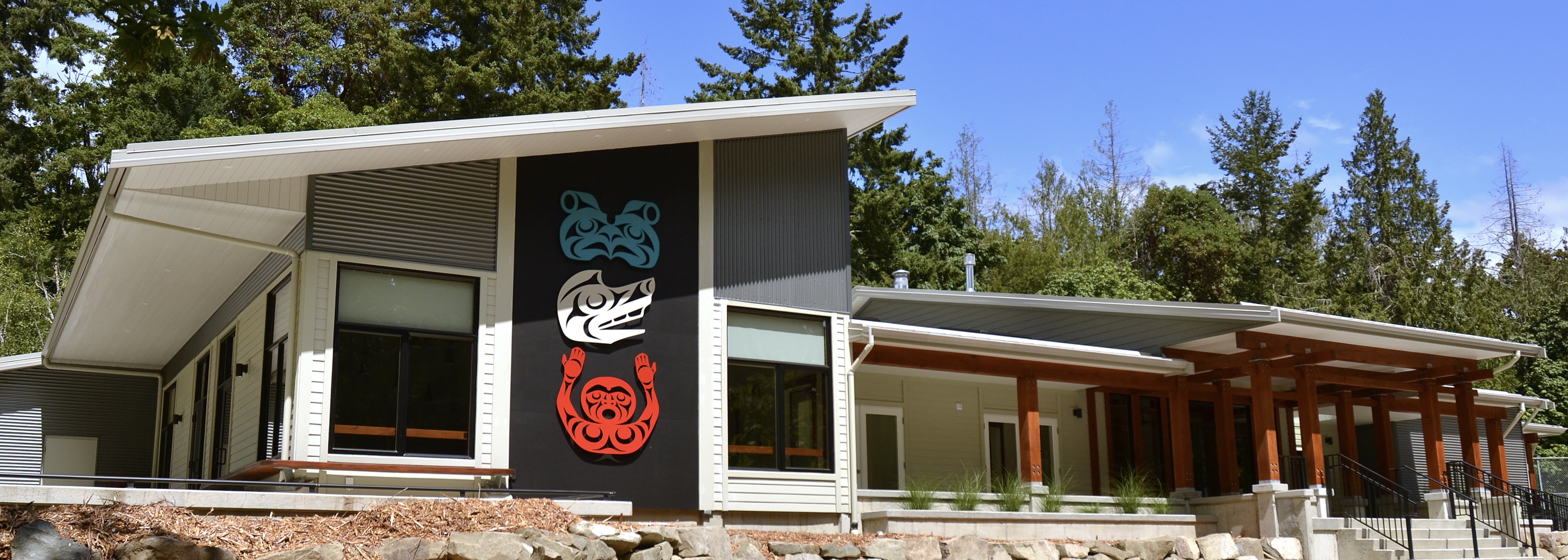
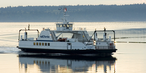
Brilliance before dusk...

Keith Rush

*****

COMMUNITY EVENTS 

***** 

SOLSTICE

Meditation / Sound

7 pm

Saturday, June 21st

Forbes Hall

*****

FILM

Snk'mip Dig Deeper

7 pm

Sunday, June 22nd

Forbes Hall

*****

FILM

Kuper Island: Return to the Healing Circle

7 pm

Wednesday, June 25th

Forbes Hall

*****

MLA Visit

Thursday

June 26th

1 - 2:30

Forbes Hall

*****

CANADA DAY

PANCAKE BREAKFAST

Tuesday

July 1st

9 - 11

Forbes Hall

*****

COMMUNITY APPRECIATION DAY AT CAPERNWRAY HARBOUR

July 12

11:00 - 3:30

Register Here

*****

SOUP'S ON

On Hiatus until Fall 2025

*****


Venting Index


Thetis Island Community Association

forbeshall.ca

*****

HEALTH SERVICES

Contact & Access Information

*****

TAXATION REPORTS

provided by Paul Duncan

Background - Phase 1 Report

Final - Phase 2 Report

*****

Who's Who of Thetis Pets Registry

*****

Thetis Island Community Fund
« NY Times Article | Main | Lost During the "Storm" »
Sunday
Feb102019

Weather Update for this Weekend

Please be prepared for possible power outages and continuing bitter cold. This is the latest update from Emergency Management BC.  Some trees damaged by the December storm may be vulnerable.  

TIVFD

Weather Event Details:

·       There is the potential for snowfall to be heavier than this past weekend.

·        A weather system is on its way from the northwest, beginning on Thursday and lasting until Saturday.

·       After a slight warming on Wednesday, Arctic air will re-intensify over the South Coast towards the end of the week and support snow down to sea-level. 

·     Flurries may begin as early as Thursday but dry lower levels of the atmosphere will keep accumulations light and snow flurries intermittent.

·       A low pressure system is expected to approach the South Coast on Friday delivering another round of low-elevation snow.

·       East Vancouver Island could see similar snow squall (ocean-effect) conditions as were experienced last Sunday. 

·       The cold air will persist through the weekend.  Any snow that does fall will remain for a few days.

·       Temperatures are expected to begin to moderate late next week but will remain below seasonal values likely through the 3rd week of February.

PrintView Printer Friendly Version

EmailEmail Article to Friend

Reader Comments

There are no comments for this journal entry. To create a new comment, use the form below.

PostPost a New Comment

Enter your information below to add a new comment.

My response is on my own website »
Author Email (optional):
Author URL (optional):
Post:
 
Some HTML allowed: <a href="" title=""> <abbr title=""> <acronym title=""> <b> <blockquote cite=""> <code> <em> <i> <strike> <strong>