




Fire Weather
 Friday, July 17, 2026 at 8:28AM
 Over the last 72 hours and continuing through the day Thursday, activity in the upper atmosphere pulled in a feed of sub-tropical moisture off the Pacific Coast and western US.
That pattern means we are at risk of lightning storms that may come with very little precipitation and convective wind gusts. With our current fuel condition, these storms could create new wildfire starts and their related winds could fan new activity.
The particular area of concern is the lower mainland, Fraser Valley, and Southern Vancouver Island.
On Saturday the weather system should push northward, providing more moisture.
Coastal Fire Centre
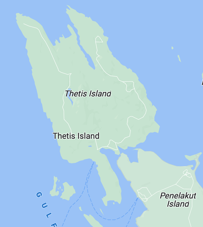
Thetis Island is remaining in the HIGH FIRE HAZARD rating, but we are on the very cusp of EXTREME and we could go to EXTREME any day as conditions change. Please be very vigilant with sparks and stop all high hazard activities before 1 pm and post a two-hour fire watch. If you are parking on grass, please be mindful of hot exhaust and catalytic converters.
The entire Coastal Fire Region is now shut down for campfires, which includes Thetis Island.
Thetis Island Vol. Fire Dept.
