Philosophers' Cafe
 Sunday, January 26, 2020 at 8:28PM
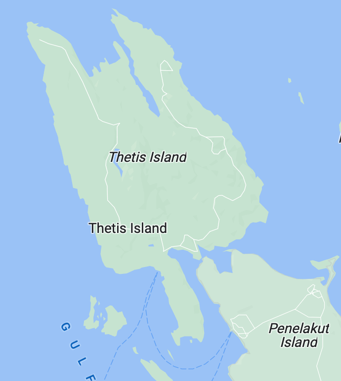
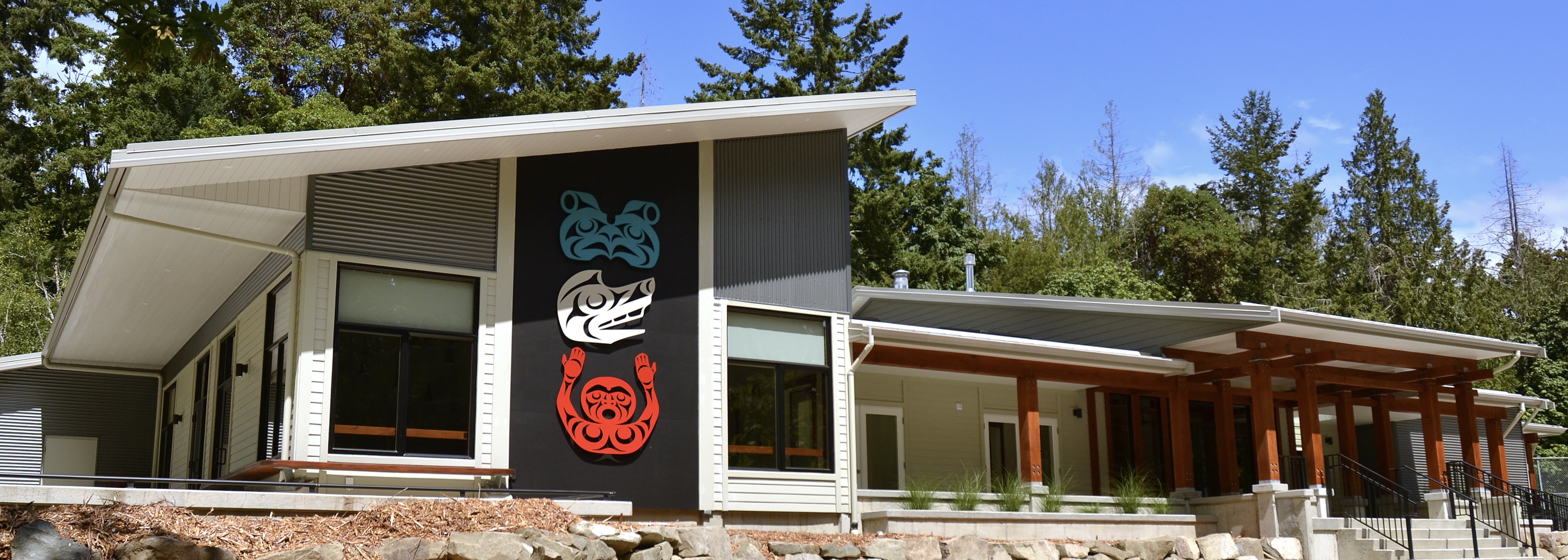
 We are in luck. Martine J. Reid has agreed to do her postponed special talk on Monday, February 10 at Heneage House, 7-9 p.m. Martine, independent scholar, curator and Honourary Chair of the Bill Reid Foundation, will join us to share her thoughts about and impressions of North West Coast art and the role it plays and has played in Indigenous culture. She has worked closely for several decades with BC’s coastal First Nations and has often found herself at the center of Indigenous creativity. Martine and her husband Rodney Badger are also beloved Thetis residents. Here is Martine’s original description of her subject:
I’d like to refresh people’s memory about the critical place the art(s) occupied in the lives of NWC people of the past, its demise or/and survival through colonial times and bring it to the present. My view is that NWC art from the North to the South has always been political to some degree and spiritual at the same time. Their worldview is one of connections, not of oppositions. Trees are ancestors. Water is source of life as much as a pine needle.
Contact: Gary Geddes, 250-246-8176, gedworks@islandnet.com


